
RESOURCES FOR DOWNLOAD
Use the dropdown menu below to filter resources by Output Type (deliverable, publication, success story, or media kit) or by Project Partner.
OUTPUT TYPE
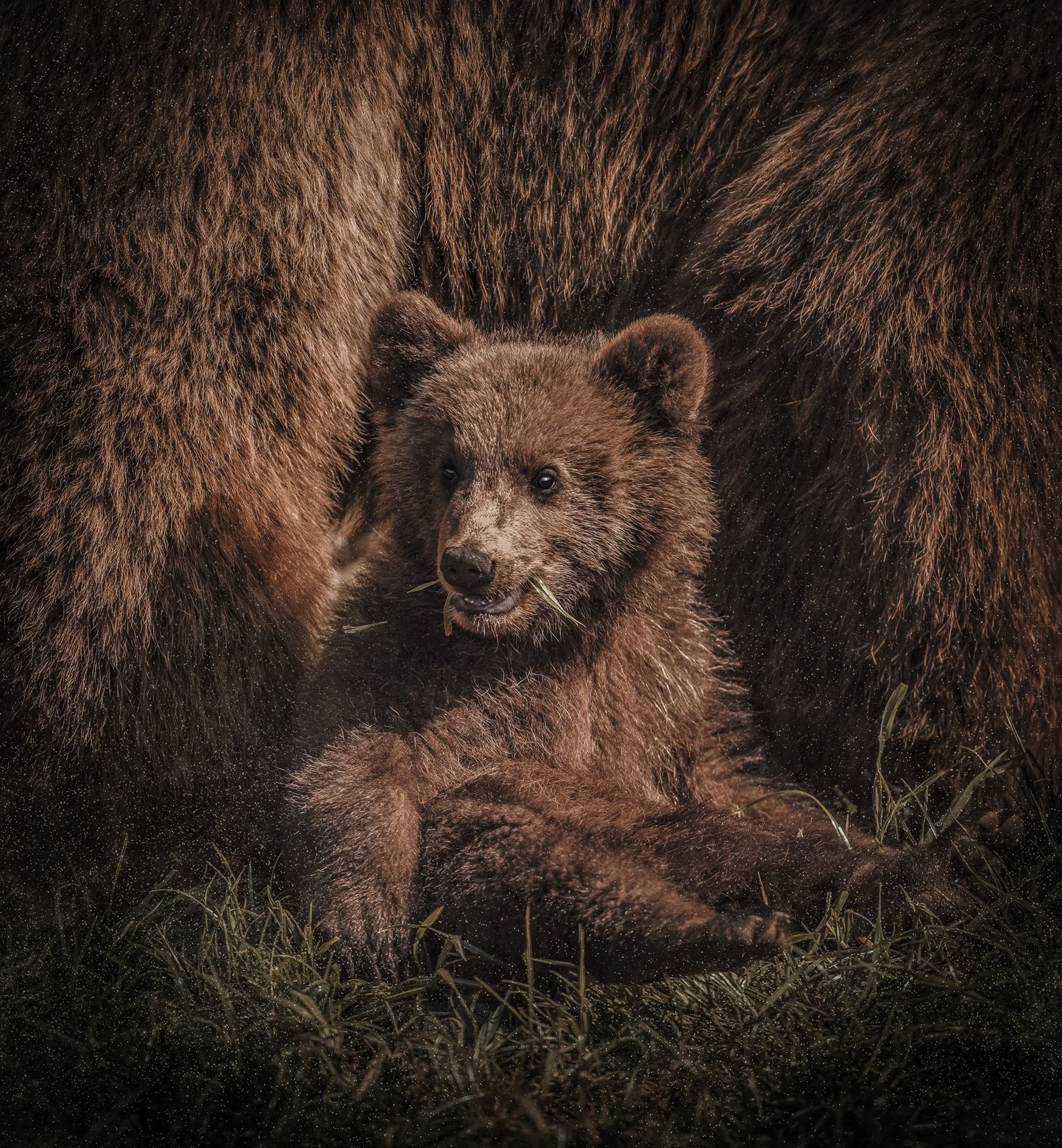
Nature FIRST article published on CPD News on the Human–Bear Conflict Radar
A new article by Nature FIRST partners, published in Carnivore Damage Prevention News, introduces the Human–Bear Conflict Radar, a digital twin tool for managing and forecasting human–wildlife conflict in near real-time. The article outlines its development, current use by scientists and rangers, and future prospects including wider community involvement and expansion to other species and regions.
NATURE FIRST: POLICY LAB OUTCOMES AND RECOMMENDATIONS
This deliverable presents the outcomes of Nature FIRST’s policy lab, focusing on how innovative monitoring tools can support EU biodiversity goals. Based on fieldwork and stakeholder input across four countries, it identifies key barriers to implementation and offers practical recommendations.
The report highlights how tools like conflict radars, habitat change models and forensic kits can improve data integration, support compliance, and enable more proactive conservation.
Download the deliverable here!

NATURE FIRST: DIGITAL TWINS
This Nature FIRST deliverable outlines the fourth and final milestone in the development and presentation of digital twins under the Nature FIRST project. It details progress on digital twin models for crane migration, sturgeon behaviour, and human-bear conflict forecasting. Additionally, it summarises dissemination efforts, including conference presentations, media coverage, and peer-reviewed publications, showcasing the impact and future potential of these digital tools in ecological research and conservation.
Download the deliverable here!
NATURE FIRST: STATE OF PLAY POLICY BRIEF
This policy brief presents the Nature FIRST Value Propositions (VPs)—a structured approach to identifying and addressing key conservation challenges through innovative technologies. It details how the project assessed problems, objectives, and needs across four European protected areas and prioritized 45 VPs for tackling human-wildlife conflict, poaching, habitat degradation, and species management. The document explains the methodology used to develop these solutions, their integration into conservation practices, and their alignment with EU policies. It also identifies gaps and limitations, offering recommendations for future biodiversity monitoring and management.
Download the document here!

NATURE FIRST WEBINAR: “DO MORE WITH DATA”
Access the recording and slides of the Nature FIRST workshop, where we:
Provided hands-on insights into using data and technology for conservation.
Covered topics like data challenges, maturity assessment, predictive analytics, and satellite-based monitoring.
Featured real-world applications from Nature FIRST, helping participants improve data-driven conservation strategies.
NATURE FIRST: LIST OF TANGIBLE CHALLENGES TO BE ADDRESSED IN THE PROJECT
This Nature FIRST deliverable identifies and addresses key conservation challenges, including habitat and species monitoring, human-nature interactions, and human-wildlife conflicts. These challenges, derived from WP3 analyses and workshops, inform the development of proactive methods and technologies in WP4, which will be implemented in WP5 to improve conservation management in protected areas. This document also includes the milestone List of known criteria and challenges. The deliverable will be updated in April 2024 to refine challenges and solutions based on ongoing project insights.
Download the deliverable here!
NATURE FIRST: FEDERATED MONITORING, EVALUATION AND LEARNING
A NATURE FIRST deliverable written by by Dr. Jan-Kees Schakel from Sensing Clues.
MEL systems in the nature conservation arena are siloed and hampered by data sharing and data muddling processes that are lengthy, knowledge intensive, labour-intensive, error-prone and costly. This frustrates collaboration, innovation, and ultimately conservation. In this paper a new paradigm on MEL is presented that supports nature conservation in multi-stakeholder landscapes.
Download the deliverable here!

NATURE FIRST WEBINAR: “CAUGHT IN THE CAMERA TRAP”
Access the recording and slides of the Nature FIRST webinar "Caught in the Camera Trap" where we:
Shared an overview of leading wildlife camera trap solutions, their strengths, and weaknesses.
Introduced a decision tree to guide you in selecting the best solution for your unique needs.
Discussed practical criteria for making informed choices.


NATURE FIRST: INTRO AND DEMO OF SOLUTIONS FOR BIODIVERSITY MONITORING
ONLINE SESSION
26 April 2023 11:00-15:00 CET
Download recordings and slides here!
NATURE FIRST: COLLABORATIVE TOOLS AND SERVICES
This document provides an overview of the tools developed by Nature FIRST to enhance the conservation of species and habitats in real-world situations. Six of these tools, including the Bear Human-Wildlife-Conflict Radar, have been successfully implemented by our consortium partners, while four additional concepts are currently under development.
Download the document here!
NATURE FIRST MEDIA KIT
Would you like to have some communication material about Nature FIRST?
Download our media kit here!
NATURE FIRST: FORENSIC INTELLIGENCE AND REMOTE SENSING TECHNOLOGIES FOR NATURE CONSERVATION
The paper discusses the EU biodiversity strategy and Nature FIRST's innovative approach, combining ecology, environmental forensics, and technology to enhance biodiversity monitoring, prevent human-wildlife conflicts, and promote human-wildlife coexistence, focusing on specific field sites in Europe.
Tessa Buckley, Linda van Duivenbode, Cristian-Remus Papp, Boris Hinojo , Jan Kees Schakel
Read the paper published by the IAF!
POPULATION DYNAMICS AND SPATIAL DISTRIBUTION OF LARGE CARNIVORES IN THE UKRAINIAN CARPATHIANS AND POLISSYA
R. M. Cherepanyn, B.I. Vykhor, A. P. Biatov, T. S. Yamelynets, І. V. Dykyy
Read the results of a study implemented within the Nature FIRST project!
DIGITAL TWINS: DYNAMIC MODEL-DATA FUSION FOR ECOLOGY
Koen de Koning, Jeroen Broekhuijsen, Ingolf Kühn, Otso Ovaskainen Franziska Taubert, Dag Endresen, Dmitry Schigel, and Volker Grimm
Read the first Nature FIRST publication!